


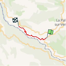

9.3 km | 20 km-effort

User


FREE GPS app for hiking
 SityTrail
IGN / Geographical institutes
SityTrail World
The world is yours!
Trail Walking of 5 km to be discovered at Provence-Alpes-Côte d'Azur, Alpes-de-Haute-Provence, La Palud-sur-Verdon. This trail is proposed by djeepee74.
Prévoir un véhicule à chaque extrémité du parcours.
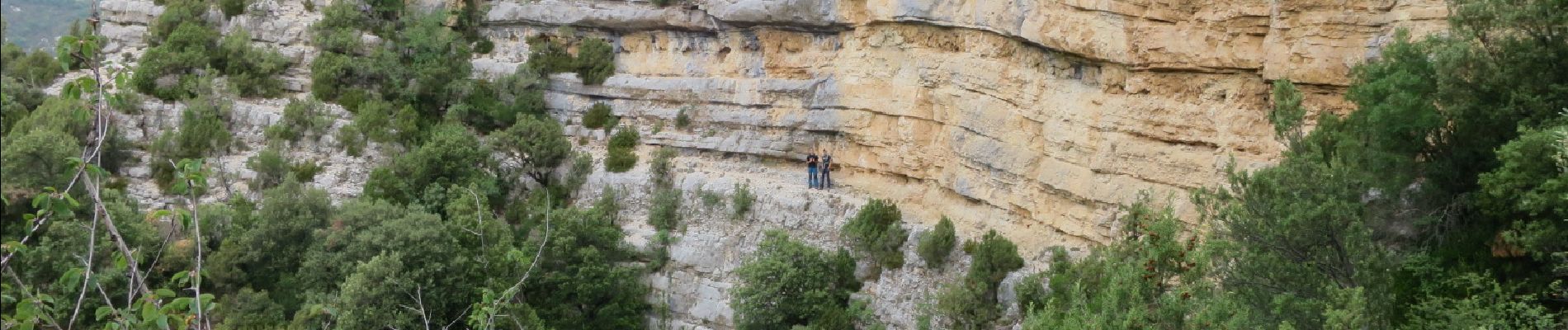
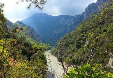
Vous dominerez les gorges... en ne les apercevant que de temps à autres !


Walking

Walking

Walking

Walking

Walking
Walking
Walking
Walking

Walking